Parc Howard Entrance
Introduction
The photograph on this page of Parc Howard Entrance by Adrian Dust as part of the Geograph project.
The Geograph project started in 2005 with the aim of publishing, organising and preserving representative images for every square kilometre of Great Britain, Ireland and the Isle of Man.

There are currently over 7.5m images from over 14,400 individuals and you can help contribute to the project by visiting https://www.geograph.org.uk
Parc Howard Entrance
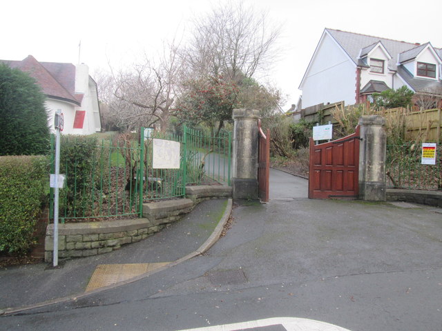
Image: © Adrian Dust Taken: 15 Jan 2015
There is an Ordnance Survey Rivet on the wall to the left of the entrance. http://www.geograph.org.uk/photo/4311482
Images are licensed for reuse under creativecommons.org/licenses/by-sa/2.0
Image Location
Latitude
51.688594
Longitude
-4.164754