Tracks south of Carlisle railway station
Introduction
The photograph on this page of Tracks south of Carlisle railway station by Thomas Nugent as part of the Geograph project.
The Geograph project started in 2005 with the aim of publishing, organising and preserving representative images for every square kilometre of Great Britain, Ireland and the Isle of Man.

There are currently over 7.5m images from over 14,400 individuals and you can help contribute to the project by visiting https://www.geograph.org.uk
Tracks south of Carlisle railway station
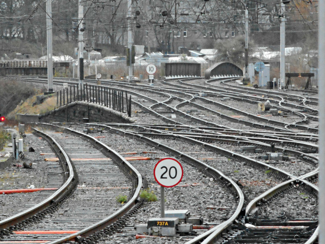
Image: © Thomas Nugent Taken: 3 Jan 2015
The lines on the left drop down steeply, running to Leeds via Settle and to Newcastle. The West Coast Main Line is to the left of the "10" sign, the Cumbrian Line branches off to the right of the same "10" sign. Viewed from Carlisle railway station.
Images are licensed for reuse under creativecommons.org/licenses/by-sa/2.0
Image Location
Latitude
54.887623
Longitude
-2.929536