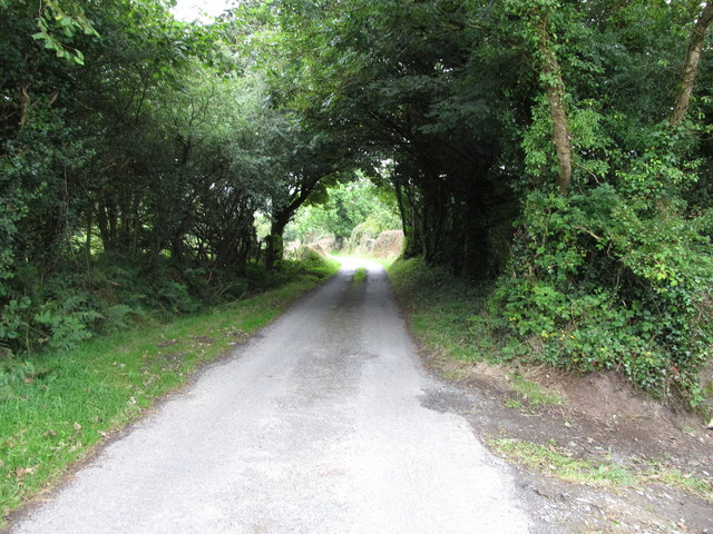
Bonds Road at the gateway in the Dorsy Entrenchment
Introduction
The photograph on this page of Bonds Road at the gateway in the Dorsy Entrenchment by Eric Jones as part of the Geograph project.
The Geograph project started in 2005 with the aim of publishing, organising and preserving representative images for every square kilometre of Great Britain, Ireland and the Isle of Man.
There are currently over 7.5m images from over 14,400 individuals and you can help contribute to the project by visiting https://www.geograph.org.uk

Image: © Eric Jones Taken: 2 Sep 2014
The rampart built in the Iron Age to protect the kingdom of Eamhain Macha had a major portal here which is still used by modern-day transport. Steep banks funnelled travellers toward a narrow entrance point where they could be checked and perhaps taxed. http://www.cregganhistory.co.uk/ofiaichcentre/dorsey.htm

