A367 Wells Road, Radstock
Introduction
The photograph on this page of A367 Wells Road, Radstock by Nigel Shoosmith as part of the Geograph project.
The Geograph project started in 2005 with the aim of publishing, organising and preserving representative images for every square kilometre of Great Britain, Ireland and the Isle of Man.

There are currently over 7.5m images from over 14,400 individuals and you can help contribute to the project by visiting https://www.geograph.org.uk
A367 Wells Road, Radstock
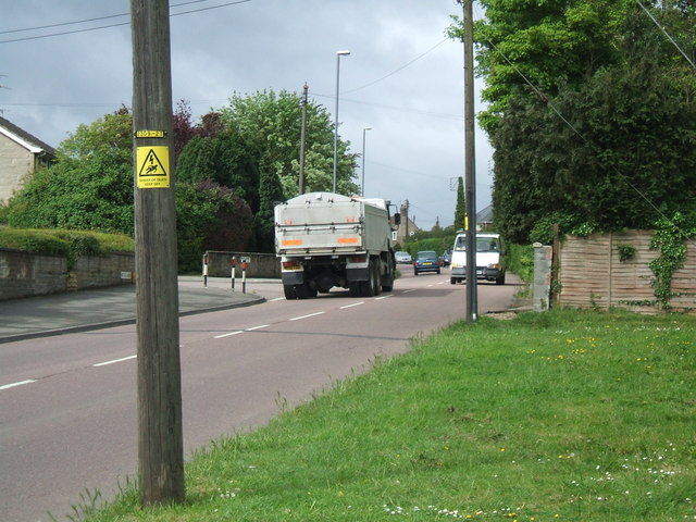
Image: © Nigel Shoosmith Taken: 12 May 2007
The main road through Westfield, Radstock. Picture taken at the junction withs Highfields. Lorry is passing junction with Westhill Road.
Images are licensed for reuse under creativecommons.org/licenses/by-sa/2.0
Image Location
Latitude
51.287619
Longitude
-2.463307