Unidentified service access, Alandale Road, Teignmouth
Introduction
The photograph on this page of Unidentified service access, Alandale Road, Teignmouth by Robin Stott as part of the Geograph project.
The Geograph project started in 2005 with the aim of publishing, organising and preserving representative images for every square kilometre of Great Britain, Ireland and the Isle of Man.

There are currently over 7.5m images from over 14,400 individuals and you can help contribute to the project by visiting https://www.geograph.org.uk
Unidentified service access, Alandale Road, Teignmouth
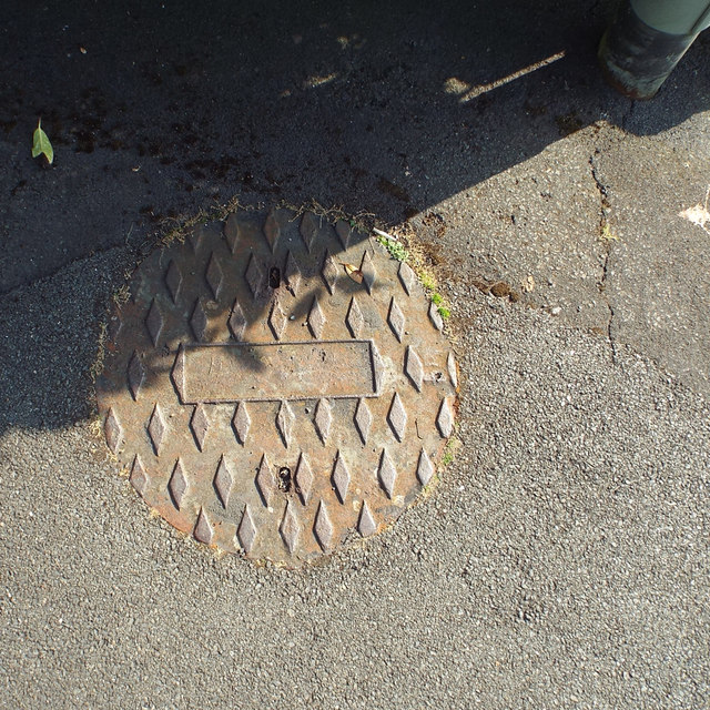
Image: © Robin Stott Taken: 15 Sep 2014
A worn cast-iron manhole cover that looks to have had space for a label identifying the service or the retailer.
Images are licensed for reuse under creativecommons.org/licenses/by-sa/2.0
Image Location
Latitude
50.55533
Longitude
-3.495881