Nant Bryn Mill Stream
Introduction
The photograph on this page of Nant Bryn Mill Stream by Alan Richards as part of the Geograph project.
The Geograph project started in 2005 with the aim of publishing, organising and preserving representative images for every square kilometre of Great Britain, Ireland and the Isle of Man.

There are currently over 7.5m images from over 14,400 individuals and you can help contribute to the project by visiting https://www.geograph.org.uk
Nant Bryn Mill Stream
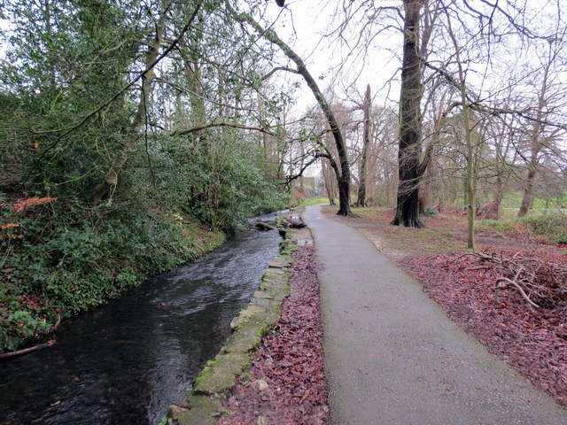
Image: © Alan Richards Taken: 13 Jan 2015
Nant Brynmill ym Mharc Singlton yn llifo tuag at Draeth Abertawe gerllaw. Yn ystod y Canol Oesoedd gelwid y ffrwd yn ogystal yn Saint David's Ditch a hwn oedd yn pennu hen ffin orllewinol Bwrdeistref Abertawe. Brynmill Stream in Singleton Park flowing towards nearby Swansea Bay. During the Middle Ages this watercourse was also known as Saint David's Ditch and it also served as the western boundary of the medieval borough of Swansea.
Images are licensed for reuse under creativecommons.org/licenses/by-sa/2.0
Image Location
Latitude
51.611913
Longitude
-3.974634