United Reformed Church, Castle Camps
Introduction
The photograph on this page of United Reformed Church, Castle Camps by Robin Webster as part of the Geograph project.
The Geograph project started in 2005 with the aim of publishing, organising and preserving representative images for every square kilometre of Great Britain, Ireland and the Isle of Man.

There are currently over 7.5m images from over 14,400 individuals and you can help contribute to the project by visiting https://www.geograph.org.uk
United Reformed Church, Castle Camps
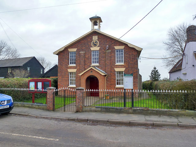
Image: © Robin Webster Taken: 11 Jan 2015
Erected A.D. 1856, according to the stone over the clock, when it was an Independent Methodist Chapel.
Images are licensed for reuse under creativecommons.org/licenses/by-sa/2.0
Image Location
Latitude
52.064449
Longitude
0.381112