Horsfall Street, near Lobb Mill Vidaduct
Introduction
The photograph on this page of Horsfall Street, near Lobb Mill Vidaduct by Phil Champion as part of the Geograph project.
The Geograph project started in 2005 with the aim of publishing, organising and preserving representative images for every square kilometre of Great Britain, Ireland and the Isle of Man.

There are currently over 7.5m images from over 14,400 individuals and you can help contribute to the project by visiting https://www.geograph.org.uk
Horsfall Street, near Lobb Mill Vidaduct
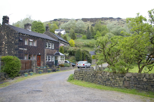
Image: © Phil Champion Taken: 6 May 2007
This almost picturesque cluster of houses is shielded from the A646 by the bulk of the railway viaduct which carries trains between Hebden Bridge and Todmorden
Images are licensed for reuse under creativecommons.org/licenses/by-sa/2.0
Image Location


Leaflet Map data © OpenStreetMap
Latitude
53.71869
Longitude
-2.071183