Hermitage St Crewkerne
Introduction
The photograph on this page of Hermitage St Crewkerne by Nigel Mykura as part of the Geograph project.
The Geograph project started in 2005 with the aim of publishing, organising and preserving representative images for every square kilometre of Great Britain, Ireland and the Isle of Man.

There are currently over 7.5m images from over 14,400 individuals and you can help contribute to the project by visiting https://www.geograph.org.uk
Hermitage St Crewkerne
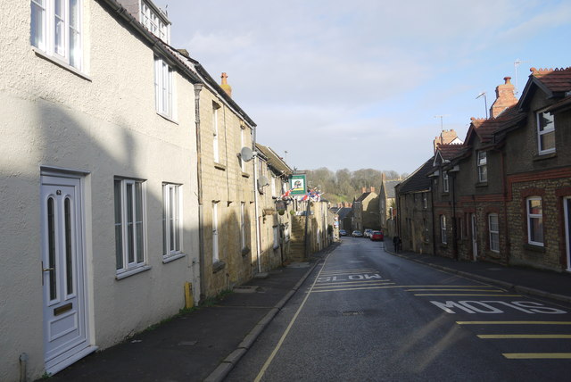
Image: © Nigel Mykura Taken: 9 Jan 2015
Looking north down Hermitage St towards the town centre with the Royal Oak pub on the left hand side with its flags out.
Images are licensed for reuse under creativecommons.org/licenses/by-sa/2.0
Image Location
Latitude
50.882003
Longitude
-2.796122