Thelwall Ferry
Introduction
The photograph on this page of Thelwall Ferry by michael ely as part of the Geograph project.
The Geograph project started in 2005 with the aim of publishing, organising and preserving representative images for every square kilometre of Great Britain, Ireland and the Isle of Man.

There are currently over 7.5m images from over 14,400 individuals and you can help contribute to the project by visiting https://www.geograph.org.uk
Thelwall Ferry
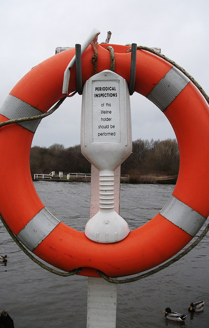
Image: © michael ely Taken: 11 Jan 2015
Seen through a life ring at the picnic area on the southern bank of the Manchester Ship Canal.
Images are licensed for reuse under creativecommons.org/licenses/by-sa/2.0
Image Location
Latitude
53.384974
Longitude
-2.528123