Lindhurst Lane, Mansfield, Notts.
Introduction
The photograph on this page of Lindhurst Lane, Mansfield, Notts. by David Hallam-Jones as part of the Geograph project.
The Geograph project started in 2005 with the aim of publishing, organising and preserving representative images for every square kilometre of Great Britain, Ireland and the Isle of Man.

There are currently over 7.5m images from over 14,400 individuals and you can help contribute to the project by visiting https://www.geograph.org.uk
Lindhurst Lane, Mansfield, Notts.
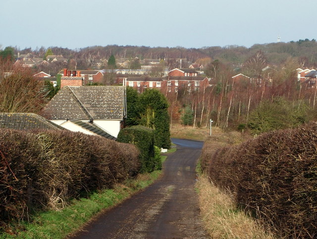
Image: © David Hallam-Jones Taken: 11 Jan 2015
Beyond this solitary dwelling on the bend of Lindhurst Lane, where vehicular traffic turns left to join the A617, a finger post sign directs walkers to a place where pedestrians can cross this busy road. The houses in the distance are on the opposite side of the Old Newark Road.
Images are licensed for reuse under creativecommons.org/licenses/by-sa/2.0
Image Location
Latitude
53.119006
Longitude
-1.160538