Firs Farm Vicinity, Mansfield, Notts.
Introduction
The photograph on this page of Firs Farm Vicinity, Mansfield, Notts. by David Hallam-Jones as part of the Geograph project.
The Geograph project started in 2005 with the aim of publishing, organising and preserving representative images for every square kilometre of Great Britain, Ireland and the Isle of Man.

There are currently over 7.5m images from over 14,400 individuals and you can help contribute to the project by visiting https://www.geograph.org.uk
Firs Farm Vicinity, Mansfield, Notts.
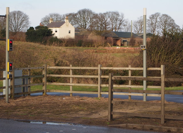
Image: © David Hallam-Jones Taken: 11 Jan 2015
A pedestrian and bridleway island in the middle of the A617 road allowing not motorised users to cross from the northern to the southern section of Black Scotch Lane - and vice versa - in safety. Firs Farm is evident in the distance.
Images are licensed for reuse under creativecommons.org/licenses/by-sa/2.0
Image Location
Latitude
53.118798
Longitude
-1.169357