Black Scotch Lane, Mansfield, Notts.
Introduction
The photograph on this page of Black Scotch Lane, Mansfield, Notts. by David Hallam-Jones as part of the Geograph project.
The Geograph project started in 2005 with the aim of publishing, organising and preserving representative images for every square kilometre of Great Britain, Ireland and the Isle of Man.

There are currently over 7.5m images from over 14,400 individuals and you can help contribute to the project by visiting https://www.geograph.org.uk
Black Scotch Lane, Mansfield, Notts.
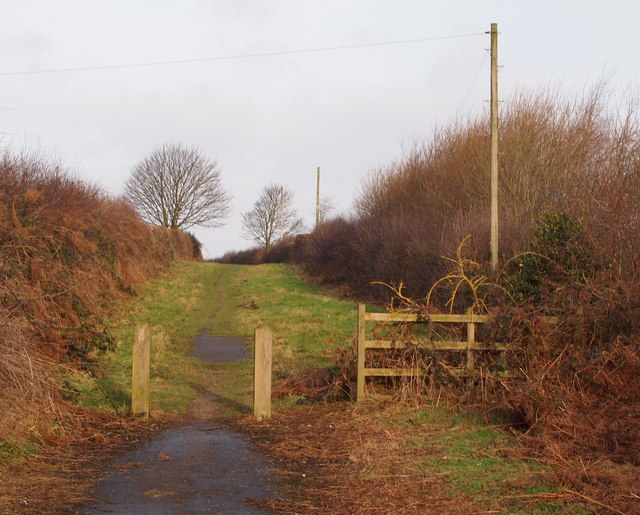
Image: © David Hallam-Jones Taken: 11 Jan 2015
The path and bridleway ahead leads users past Firs Farm and terminates when it reaches a T junction with a footpath that follows the course of the Old Newark Road. These bollards obviously exist to prevent most motor vehicles from entering or exiting this southern section of Black Scotch Lane. The northern section of the lane continues behind the photographer on the other side of the A617 road.
Images are licensed for reuse under creativecommons.org/licenses/by-sa/2.0
Image Location
Latitude
53.118979
Longitude
-1.169503