Black Scotch Lane, Mansfield, Notts.
Introduction
The photograph on this page of Black Scotch Lane, Mansfield, Notts. by David Hallam-Jones as part of the Geograph project.
The Geograph project started in 2005 with the aim of publishing, organising and preserving representative images for every square kilometre of Great Britain, Ireland and the Isle of Man.

There are currently over 7.5m images from over 14,400 individuals and you can help contribute to the project by visiting https://www.geograph.org.uk
Black Scotch Lane, Mansfield, Notts.
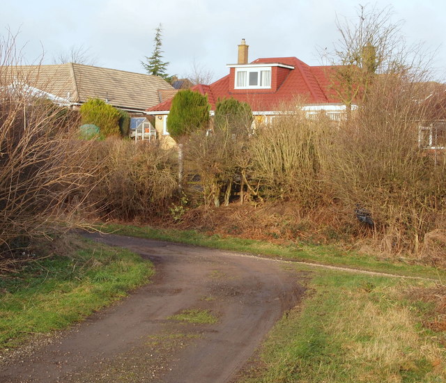
Image: © David Hallam-Jones Taken: 11 Jan 2015
The view from the rear dormer window of this house in Chatsworth Drive might include this T junction. The shaft of the letter T is the southern-most part of Black Scotch Lane, whereas the horizontal bar of the T is a track following the course of the Old Newark Road.
Images are licensed for reuse under creativecommons.org/licenses/by-sa/2.0
Image Location
Latitude
53.122233
Longitude
-1.17213