Entrance to Hart's Barn
Introduction
The photograph on this page of Entrance to Hart's Barn by Clint Mann as part of the Geograph project.
The Geograph project started in 2005 with the aim of publishing, organising and preserving representative images for every square kilometre of Great Britain, Ireland and the Isle of Man.

There are currently over 7.5m images from over 14,400 individuals and you can help contribute to the project by visiting https://www.geograph.org.uk
Entrance to Hart's Barn
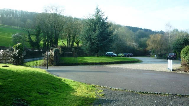
Image: © Clint Mann Taken: 9 Jan 2015
Approached from A4136 between Mitcheldean and Longhope
Images are licensed for reuse under creativecommons.org/licenses/by-sa/2.0
Image Location


Leaflet Map data © OpenStreetMap
Latitude
51.863412
Longitude
-2.472208