Upper Cound
Introduction
The photograph on this page of Upper Cound by Richard Law as part of the Geograph project.
The Geograph project started in 2005 with the aim of publishing, organising and preserving representative images for every square kilometre of Great Britain, Ireland and the Isle of Man.

There are currently over 7.5m images from over 14,400 individuals and you can help contribute to the project by visiting https://www.geograph.org.uk
Upper Cound
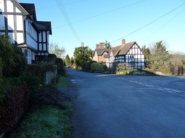
Image: © Richard Law Taken: 4 Jan 2015
The centre of the village has an unfair selection of historic and picturesque cottages.
Images are licensed for reuse under creativecommons.org/licenses/by-sa/2.0
Image Location
Latitude
52.639447
Longitude
-2.662883