Drain, Orangefield Park, Belfast (January 2015)
Introduction
The photograph on this page of Drain, Orangefield Park, Belfast (January 2015) by Albert Bridge as part of the Geograph project.
The Geograph project started in 2005 with the aim of publishing, organising and preserving representative images for every square kilometre of Great Britain, Ireland and the Isle of Man.

There are currently over 7.5m images from over 14,400 individuals and you can help contribute to the project by visiting https://www.geograph.org.uk
Drain, Orangefield Park, Belfast (January 2015)
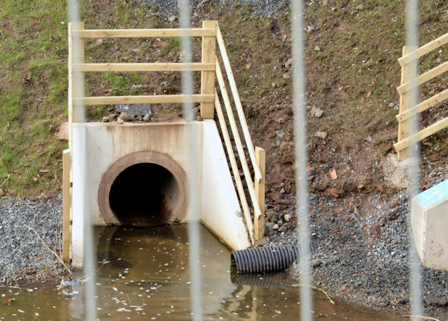
Image: © Albert Bridge Taken: 10 Jan 2015
An improved drain feeding into the Knock River close to the Grand Parade culvert Image (right). The old version can be seen in Image (March 2011).
Images are licensed for reuse under creativecommons.org/licenses/by-sa/2.0
Image Location
Latitude
54.588094
Longitude
-5.884901