Lyer Dene Farm
Introduction
The photograph on this page of Lyer Dene Farm by Robert Graham as part of the Geograph project.
The Geograph project started in 2005 with the aim of publishing, organising and preserving representative images for every square kilometre of Great Britain, Ireland and the Isle of Man.

There are currently over 7.5m images from over 14,400 individuals and you can help contribute to the project by visiting https://www.geograph.org.uk
Lyer Dene Farm
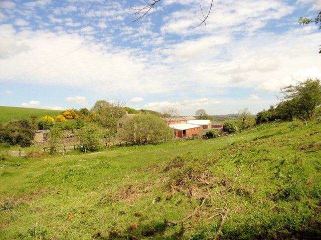
Image: © Robert Graham Taken: 26 May 2014
This farm is tucked into a steep sided little valley east of the A68 near Rowley.
Images are licensed for reuse under creativecommons.org/licenses/by-sa/2.0
Image Location


Leaflet Map data © OpenStreetMap
Latitude
54.824242
Longitude
-1.860513