Edgware High Street
Introduction
The photograph on this page of Edgware High Street by David Howard as part of the Geograph project.
The Geograph project started in 2005 with the aim of publishing, organising and preserving representative images for every square kilometre of Great Britain, Ireland and the Isle of Man.

There are currently over 7.5m images from over 14,400 individuals and you can help contribute to the project by visiting https://www.geograph.org.uk
Edgware High Street
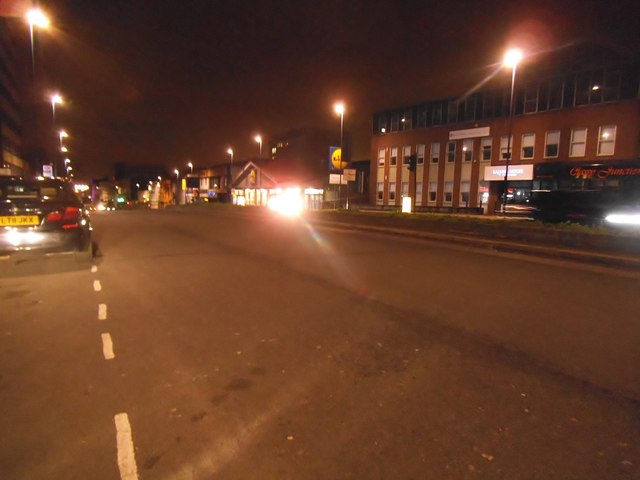
Image: © David Howard Taken: 9 Jan 2015
If you turn the other way you can drive all the way to Holyhead on the one road. This direction goes to Marble Arch.
Images are licensed for reuse under creativecommons.org/licenses/by-sa/2.0
Image Location
Latitude
51.610156
Longitude
-0.278815