Cleared and replanted woodland
Introduction
The photograph on this page of Cleared and replanted woodland by Oliver Dixon as part of the Geograph project.
The Geograph project started in 2005 with the aim of publishing, organising and preserving representative images for every square kilometre of Great Britain, Ireland and the Isle of Man.

There are currently over 7.5m images from over 14,400 individuals and you can help contribute to the project by visiting https://www.geograph.org.uk
Cleared and replanted woodland
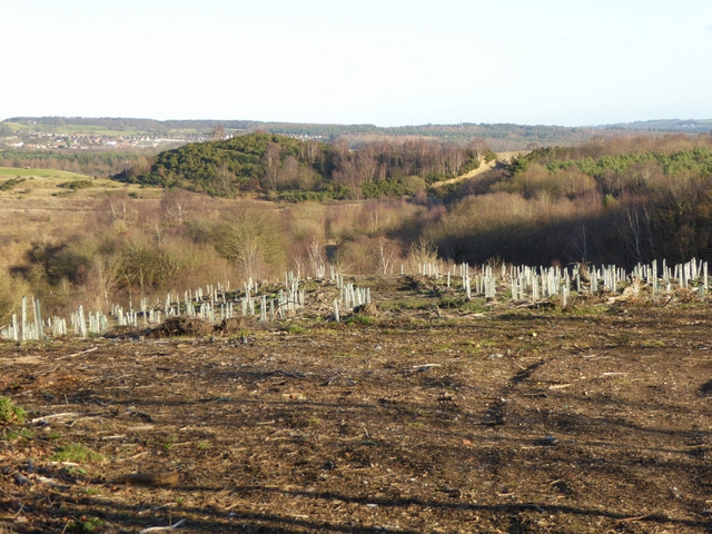
Image: © Oliver Dixon Taken: 8 Jan 2015
Meir Wood, above the valley of the Mill Burn, has been clear felled. Saplings have been planted in Tuley tubes.
Images are licensed for reuse under creativecommons.org/licenses/by-sa/2.0
Image Location
Latitude
54.905204
Longitude
-1.855867