Wedlands, Taunton
Introduction
The photograph on this page of Wedlands, Taunton by Jaggery as part of the Geograph project.
The Geograph project started in 2005 with the aim of publishing, organising and preserving representative images for every square kilometre of Great Britain, Ireland and the Isle of Man.

There are currently over 7.5m images from over 14,400 individuals and you can help contribute to the project by visiting https://www.geograph.org.uk
Wedlands, Taunton
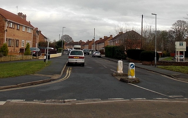
Image: © Jaggery Taken: 16 Dec 2014
Wedlands is a roughly rectangular area of houses on the east side Cheddon Road. In view is the southern side of the rectangle. The board on the right edge of the photo shows Priorswood Primary School.
Images are licensed for reuse under creativecommons.org/licenses/by-sa/2.0
Image Location
Latitude
51.028453
Longitude
-3.099941