Normanby-le-Wold, Lincolnshire
Introduction
The photograph on this page of Normanby-le-Wold, Lincolnshire by John Beal as part of the Geograph project.
The Geograph project started in 2005 with the aim of publishing, organising and preserving representative images for every square kilometre of Great Britain, Ireland and the Isle of Man.

There are currently over 7.5m images from over 14,400 individuals and you can help contribute to the project by visiting https://www.geograph.org.uk
Normanby-le-Wold, Lincolnshire
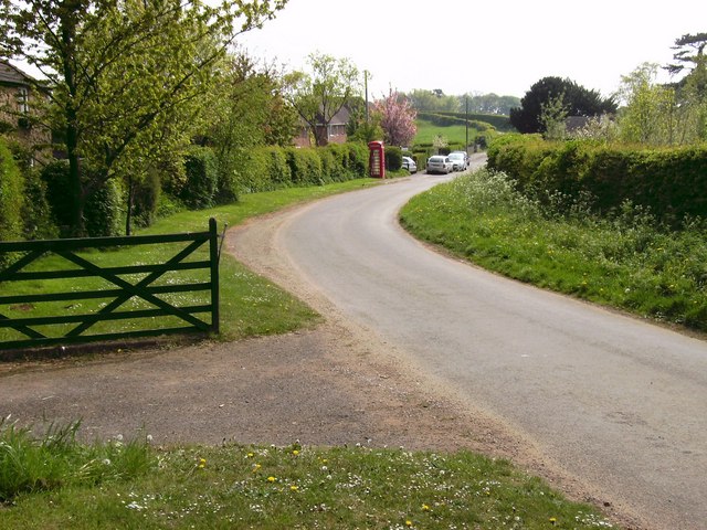
Image: © John Beal Taken: 5 May 2007
One of the lanes of this small but very pretty village, situated on one of the highest points of the Lincolnshire Wolds at 543 feet above sea level. Note the old fashioned red telephone box!
Images are licensed for reuse under creativecommons.org/licenses/by-sa/2.0
Image Location


Leaflet Map data © OpenStreetMap
Latitude
53.440721
Longitude
-0.310968