Stile at the parish boundary
Introduction
The photograph on this page of Stile at the parish boundary by Humphrey Bolton as part of the Geograph project.
The Geograph project started in 2005 with the aim of publishing, organising and preserving representative images for every square kilometre of Great Britain, Ireland and the Isle of Man.

There are currently over 7.5m images from over 14,400 individuals and you can help contribute to the project by visiting https://www.geograph.org.uk
Stile at the parish boundary
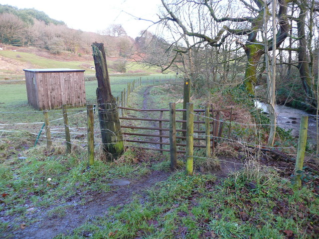
Image: © Humphrey Bolton Taken: 8 Jan 2015
This is where you pass from Barkisland into Greetland. The footpath changes from Ripponden FP75 to Elland FP37. The stile is a chicane around a metal gate.
Images are licensed for reuse under creativecommons.org/licenses/by-sa/2.0
Image Location
Latitude
53.681
Longitude
-1.888686