A branch of Ripponden FP75 alongside a field boundary ditch
Introduction
The photograph on this page of A branch of Ripponden FP75 alongside a field boundary ditch by Humphrey Bolton as part of the Geograph project.
The Geograph project started in 2005 with the aim of publishing, organising and preserving representative images for every square kilometre of Great Britain, Ireland and the Isle of Man.

There are currently over 7.5m images from over 14,400 individuals and you can help contribute to the project by visiting https://www.geograph.org.uk
A branch of Ripponden FP75 alongside a field boundary ditch
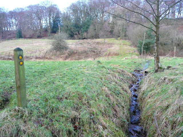
Image: © Humphrey Bolton Taken: 8 Jan 2015
The ditch was probably dug as part of a drainage system for the adjoining fields. The path follows it up to Zechariah Wood, and is first shown on the 1893 1:2500 map.
Images are licensed for reuse under creativecommons.org/licenses/by-sa/2.0
Image Location
Latitude
53.680911
Longitude
-1.890351