Rough pasture near Wheal Butson Farm
Introduction
The photograph on this page of Rough pasture near Wheal Butson Farm by Philip Halling as part of the Geograph project.
The Geograph project started in 2005 with the aim of publishing, organising and preserving representative images for every square kilometre of Great Britain, Ireland and the Isle of Man.

There are currently over 7.5m images from over 14,400 individuals and you can help contribute to the project by visiting https://www.geograph.org.uk
Rough pasture near Wheal Butson Farm
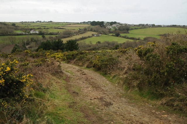
Image: © Philip Halling Taken: 31 Dec 2014
Open access land, rough pasture which is dominated by gorse bushes.
Images are licensed for reuse under creativecommons.org/licenses/by-sa/2.0
Image Location


Leaflet Map data © OpenStreetMap
Latitude
50.298026
Longitude
-5.180442