Old Eign Hill, Hereford
Introduction
The photograph on this page of Old Eign Hill, Hereford by Jaggery as part of the Geograph project.
The Geograph project started in 2005 with the aim of publishing, organising and preserving representative images for every square kilometre of Great Britain, Ireland and the Isle of Man.

There are currently over 7.5m images from over 14,400 individuals and you can help contribute to the project by visiting https://www.geograph.org.uk
Old Eign Hill, Hereford
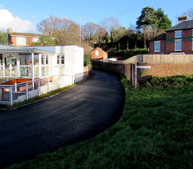
Image: © Jaggery Taken: 8 Jan 2015
Old Eign Hill begins its ascent from the B4224 junction, past Brookfield Veterinary Practice http://www.geograph.org.uk/photo/4305207 on the left and Beech House Nursery School http://www.geograph.org.uk/photo/4305199 on the right.
Images are licensed for reuse under creativecommons.org/licenses/by-sa/2.0
Image Location
Latitude
52.050025
Longitude
-2.696995