Valley west of Tavistock
Introduction
The photograph on this page of Valley west of Tavistock by Derek Harper as part of the Geograph project.
The Geograph project started in 2005 with the aim of publishing, organising and preserving representative images for every square kilometre of Great Britain, Ireland and the Isle of Man.

There are currently over 7.5m images from over 14,400 individuals and you can help contribute to the project by visiting https://www.geograph.org.uk
Valley west of Tavistock
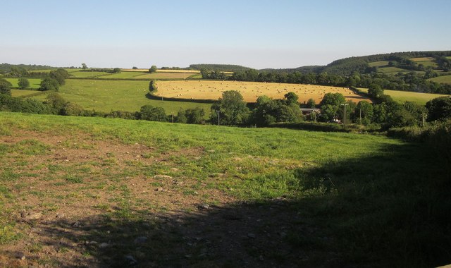
Image: © Derek Harper Taken: 24 Jun 2014
A tiny stream drains it to the River Lumburn. Among the trees are Bowrish Sawmills and Cottages.
Images are licensed for reuse under creativecommons.org/licenses/by-sa/2.0
Image Location
Latitude
50.541943
Longitude
-4.169103