South Hazelrigg
Introduction
The photograph on this page of South Hazelrigg by Graham Robson as part of the Geograph project.
The Geograph project started in 2005 with the aim of publishing, organising and preserving representative images for every square kilometre of Great Britain, Ireland and the Isle of Man.

There are currently over 7.5m images from over 14,400 individuals and you can help contribute to the project by visiting https://www.geograph.org.uk
South Hazelrigg
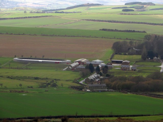
Image: © Graham Robson Taken: 1 Jan 2015
Looking towards the buildings at South Hazelrigg from the hill to the north west of Bowden Doors. The steading is being used as a training stables for race horses.
Images are licensed for reuse under creativecommons.org/licenses/by-sa/2.0
Image Location
Latitude
55.585305
Longitude
-1.915418