A60/Terrace Road Junction, Mansfield, Notts.
Introduction
The photograph on this page of A60/Terrace Road Junction, Mansfield, Notts. by David Hallam-Jones as part of the Geograph project.
The Geograph project started in 2005 with the aim of publishing, organising and preserving representative images for every square kilometre of Great Britain, Ireland and the Isle of Man.

There are currently over 7.5m images from over 14,400 individuals and you can help contribute to the project by visiting https://www.geograph.org.uk
A60/Terrace Road Junction, Mansfield, Notts.
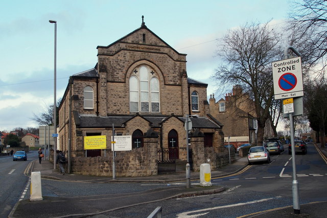
Image: © David Hallam-Jones Taken: 8 Jan 2015
The combined Church of God of Prophecy and Mansfield Christian Community Centre occupying a triangular plot of land between Terrace Road to the right and the A60 (Woodhouse Road) on the left. The blue car descending towards the photographer has come from the Mansfield Woodhouse area.
Images are licensed for reuse under creativecommons.org/licenses/by-sa/2.0
Image Location
Latitude
53.147284
Longitude
-1.194076