B3362 near Collacombe Barton
Introduction
The photograph on this page of B3362 near Collacombe Barton by Derek Harper as part of the Geograph project.
The Geograph project started in 2005 with the aim of publishing, organising and preserving representative images for every square kilometre of Great Britain, Ireland and the Isle of Man.

There are currently over 7.5m images from over 14,400 individuals and you can help contribute to the project by visiting https://www.geograph.org.uk
B3362 near Collacombe Barton
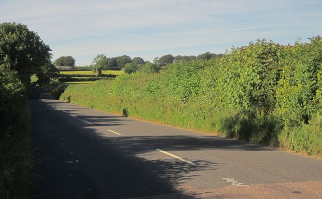
Image: © Derek Harper Taken: 24 Jun 2014
The B road is running along a ridge between the draiange system of the Tamar on the left and the Lumburn on the right. Here it dips to a slight col at 151 metres.
Images are licensed for reuse under creativecommons.org/licenses/by-sa/2.0
Image Location
Latitude
50.567435
Longitude
-4.210097