Minor Road
Introduction
The photograph on this page of Minor Road by jeff collins as part of the Geograph project.
The Geograph project started in 2005 with the aim of publishing, organising and preserving representative images for every square kilometre of Great Britain, Ireland and the Isle of Man.

There are currently over 7.5m images from over 14,400 individuals and you can help contribute to the project by visiting https://www.geograph.org.uk
Minor Road
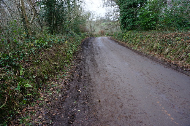
Image: © jeff collins Taken: 7 Jan 2015
The Erme-Plym Trail uses this short section of road, before entering a field ahead around the bend in SX5752, then climbing steeply up to Cole Hill Plantation.
Images are licensed for reuse under creativecommons.org/licenses/by-sa/2.0
Image Location


Leaflet Map data © OpenStreetMap
Latitude
50.356157
Longitude
-4.012019