Crossroads on the B3362
Introduction
The photograph on this page of Crossroads on the B3362 by Derek Harper as part of the Geograph project.
The Geograph project started in 2005 with the aim of publishing, organising and preserving representative images for every square kilometre of Great Britain, Ireland and the Isle of Man.

There are currently over 7.5m images from over 14,400 individuals and you can help contribute to the project by visiting https://www.geograph.org.uk
Crossroads on the B3362
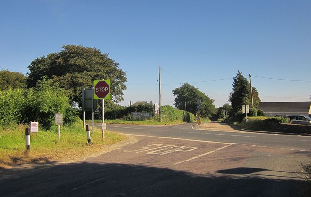
Image: © Derek Harper Taken: 24 Jun 2014
The B road is ahead and to the right here. The left turn appears to be the main road - that's the old road through Lamerton to Tavistock - two miles shorter, but no heavy goods.
Images are licensed for reuse under creativecommons.org/licenses/by-sa/2.0
Image Location
Latitude
50.574716
Longitude
-4.210297