Cattawade Street
Introduction
The photograph on this page of Cattawade Street by Martin Addison as part of the Geograph project.
The Geograph project started in 2005 with the aim of publishing, organising and preserving representative images for every square kilometre of Great Britain, Ireland and the Isle of Man.

There are currently over 7.5m images from over 14,400 individuals and you can help contribute to the project by visiting https://www.geograph.org.uk
Cattawade Street
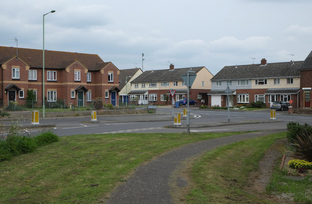
Image: © Martin Addison Taken: 17 Apr 2014
Seen from the roundabout on the A137, the semi-brick houses are on Cattawade street. The road in the foreground is an extension of the B1070, Bergholt Road.
Images are licensed for reuse under creativecommons.org/licenses/by-sa/2.0
Image Location
Latitude
51.957634
Longitude
1.057555