Rowland Villas and Victor Villas
Introduction
The photograph on this page of Rowland Villas and Victor Villas by Martin Addison as part of the Geograph project.
The Geograph project started in 2005 with the aim of publishing, organising and preserving representative images for every square kilometre of Great Britain, Ireland and the Isle of Man.

There are currently over 7.5m images from over 14,400 individuals and you can help contribute to the project by visiting https://www.geograph.org.uk
Rowland Villas and Victor Villas
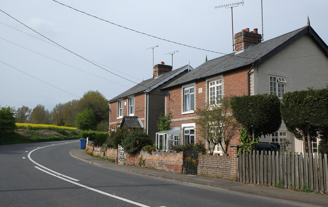
Image: © Martin Addison Taken: 17 Apr 2014
Houses dated 1896 beside the B1070. I believe that the road is still Bergholt Road at this point and probably becomes Manningtree Road just around the corner!
Images are licensed for reuse under creativecommons.org/licenses/by-sa/2.0
Image Location
Latitude
51.960427
Longitude
1.046972