Western end of the B4070 in Stroud
Introduction
The photograph on this page of Western end of the B4070 in Stroud by Jaggery as part of the Geograph project.
The Geograph project started in 2005 with the aim of publishing, organising and preserving representative images for every square kilometre of Great Britain, Ireland and the Isle of Man.

There are currently over 7.5m images from over 14,400 individuals and you can help contribute to the project by visiting https://www.geograph.org.uk
Western end of the B4070 in Stroud
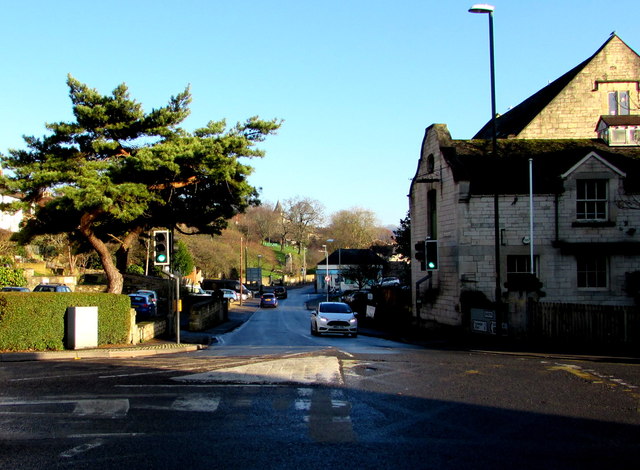
Image: © Jaggery Taken: 28 Dec 2014
The B4070 is a road from the A46 here in Stroud to Birdlip, about 20km away. The B4070 ahead is named Slad Road. A sign on the right shows that Slad is 2 miles away.
Images are licensed for reuse under creativecommons.org/licenses/by-sa/2.0
Image Location
Latitude
51.747458
Longitude
-2.216065