Farmland near Ballykelly
Introduction
The photograph on this page of Farmland near Ballykelly by Kay Atherton as part of the Geograph project.
The Geograph project started in 2005 with the aim of publishing, organising and preserving representative images for every square kilometre of Great Britain, Ireland and the Isle of Man.

There are currently over 7.5m images from over 14,400 individuals and you can help contribute to the project by visiting https://www.geograph.org.uk
Farmland near Ballykelly
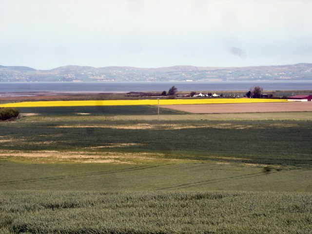
Image: © Kay Atherton Taken: 28 Apr 2007
The low level land between Ballykelly bank and Cross bank, with the Foyle Estuary and Donegal hills beyond.
Images are licensed for reuse under creativecommons.org/licenses/by-sa/2.0
Image Location


Leaflet Map data © OpenStreetMap
Latitude
55.046082
Longitude
-7.038642