Council House, St Mary Street / Earl Street junction
Introduction
The photograph on this page of Council House, St Mary Street / Earl Street junction by Roger Templeman as part of the Geograph project.
The Geograph project started in 2005 with the aim of publishing, organising and preserving representative images for every square kilometre of Great Britain, Ireland and the Isle of Man.

There are currently over 7.5m images from over 14,400 individuals and you can help contribute to the project by visiting https://www.geograph.org.uk
Council House, St Mary Street / Earl Street junction
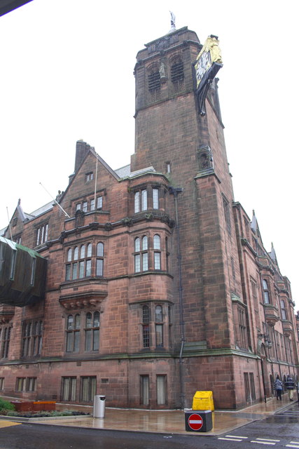
Image: © Roger Templeman Taken: 3 Jan 2015
There is an OS benchmark Image on the right hand end of the jut right of the silver waste bin
Images are licensed for reuse under creativecommons.org/licenses/by-sa/2.0
Image Location
Latitude
52.406991
Longitude
-1.507659