Fork in the lane near Mana Butts
Introduction
The photograph on this page of Fork in the lane near Mana Butts by Derek Harper as part of the Geograph project.
The Geograph project started in 2005 with the aim of publishing, organising and preserving representative images for every square kilometre of Great Britain, Ireland and the Isle of Man.

There are currently over 7.5m images from over 14,400 individuals and you can help contribute to the project by visiting https://www.geograph.org.uk
Fork in the lane near Mana Butts
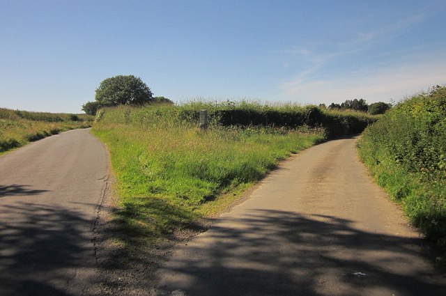
Image: © Derek Harper Taken: 24 Jun 2014
Just north of the gateway from which Image] was taken. The right fork leads across the Burn valley to Mary Tavy. Left is for Brent Tor, and is followed by the parish boundary between Mary Tavy (right) and Lamerton, as well as being the boundary of the National Park (right). It used also to be the route of NCN27, but that seems to have shifted eastwards. In the grass is the milestone described at http://list.english-heritage.org.uk/resultsingle.aspx?uid=1105737&searchtype=mapsearch .
Images are licensed for reuse under creativecommons.org/licenses/by-sa/2.0
Image Location


Leaflet Map data © OpenStreetMap
Latitude
50.580272
Longitude
-4.134278