Burn valley
Introduction
The photograph on this page of Burn valley by Derek Harper as part of the Geograph project.
The Geograph project started in 2005 with the aim of publishing, organising and preserving representative images for every square kilometre of Great Britain, Ireland and the Isle of Man.

There are currently over 7.5m images from over 14,400 individuals and you can help contribute to the project by visiting https://www.geograph.org.uk
Burn valley
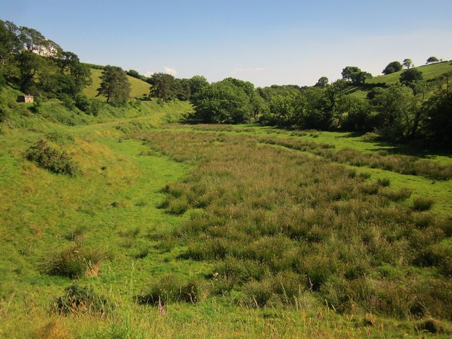
Image: © Derek Harper Taken: 24 Jun 2014
A similar view to Image], taken from further down the lane shown in Image and showing the hut seen in Image Again, the River Burn follows the line of trees on the right.
Images are licensed for reuse under creativecommons.org/licenses/by-sa/2.0
Image Location
Latitude
50.588305
Longitude
-4.122915