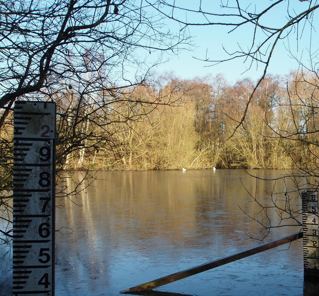
Oxton Bogs, Oxton, Notts.
Introduction
The photograph on this page of Oxton Bogs, Oxton, Notts. by David Hallam-Jones as part of the Geograph project.
The Geograph project started in 2005 with the aim of publishing, organising and preserving representative images for every square kilometre of Great Britain, Ireland and the Isle of Man.
There are currently over 7.5m images from over 14,400 individuals and you can help contribute to the project by visiting https://www.geograph.org.uk

Image: © David Hallam-Jones Taken: 4 Jan 2015
With a track on land that belongs to Beanford Farm just a metre or so behind the photographer this is a view across the most southerly lake in the Oxton Bogs wetlands area. Beanford Lane, and the wooded area through which this lane passes, is situated 100 metres to the right. The surface area occupied by the wetlands area is reported to be 1.6 ha (4 acres). Appendix D (Sites of Importance to Nature Conservation) in the Newark & Sherwood District Council Local Plan - adopted March 1999 - describes this wetland area as "a site of importance for its hydrophilic plan and invertebrate communities.

