Formerly The Stag, Hatfield Heath
Introduction
The photograph on this page of Formerly The Stag, Hatfield Heath by Robin Webster as part of the Geograph project.
The Geograph project started in 2005 with the aim of publishing, organising and preserving representative images for every square kilometre of Great Britain, Ireland and the Isle of Man.

There are currently over 7.5m images from over 14,400 individuals and you can help contribute to the project by visiting https://www.geograph.org.uk
Formerly The Stag, Hatfield Heath
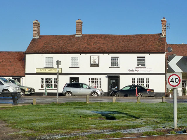
Image: © Robin Webster Taken: 30 Dec 2014
This grade II listed building is now shops, 'Dorringtons' is not a brewer but a baker.
Images are licensed for reuse under creativecommons.org/licenses/by-sa/2.0
Image Location
Latitude
51.812765
Longitude
0.209678