East Leys
Introduction
The photograph on this page of East Leys by Anne Burgess as part of the Geograph project.
The Geograph project started in 2005 with the aim of publishing, organising and preserving representative images for every square kilometre of Great Britain, Ireland and the Isle of Man.

There are currently over 7.5m images from over 14,400 individuals and you can help contribute to the project by visiting https://www.geograph.org.uk
East Leys
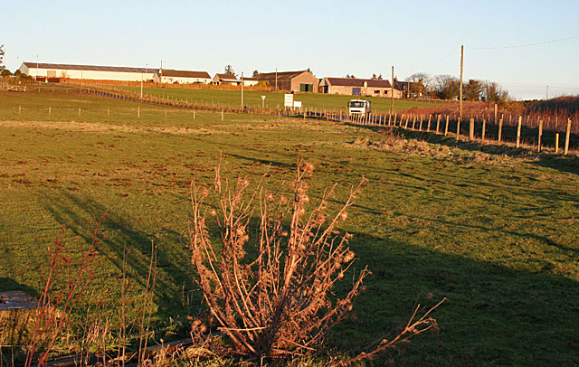
Image: © Anne Burgess Taken: 6 Jan 2015
The lorry has come along the minor road from Fernieslack and is just reaching the junction with the minor road from Corse.
Images are licensed for reuse under creativecommons.org/licenses/by-sa/2.0
Image Location
Latitude
57.564653
Longitude
-1.992464