North Place
Introduction
The photograph on this page of North Place by Anne Burgess as part of the Geograph project.
The Geograph project started in 2005 with the aim of publishing, organising and preserving representative images for every square kilometre of Great Britain, Ireland and the Isle of Man.

There are currently over 7.5m images from over 14,400 individuals and you can help contribute to the project by visiting https://www.geograph.org.uk
North Place
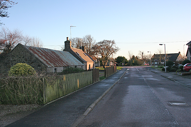
Image: © Anne Burgess Taken: 6 Jan 2015
North place would be the continuation of Duke Street if it were not for the latter curving round to leave a grassy area on the south side of the Square. In that square, at the foot of this street, is the site of the United Presbyterian kirk which was opened in 1882. In 1929 the United Presbyterian Church was reunited with the Church of Scotland. The UP kirk was abandoned, and was demolished in the 1930s, and North Place extended over its site to meet the main street. If you enlarge the map, you can easily see the shape of the original diagonally-placed square.
Images are licensed for reuse under creativecommons.org/licenses/by-sa/2.0
Image Location
Latitude
57.547764
Longitude
-2.023543