Cow Farm Lane - junction with footpath to Ongar Road
Introduction
The photograph on this page of Cow Farm Lane - junction with footpath to Ongar Road by Hugh Gorton as part of the Geograph project.
The Geograph project started in 2005 with the aim of publishing, organising and preserving representative images for every square kilometre of Great Britain, Ireland and the Isle of Man.

There are currently over 7.5m images from over 14,400 individuals and you can help contribute to the project by visiting https://www.geograph.org.uk
Cow Farm Lane - junction with footpath to Ongar Road
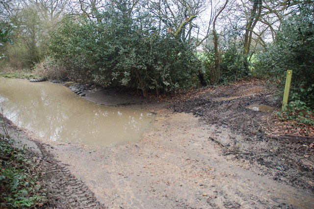
Image: © Hugh Gorton Taken: 6 Jan 2015
This at the south end of the wooded area where the public footpath to the Ongar Road joins the lane. Note the damage caused by off-roaders including the flooded depression on the left, and the 4x4 tyre tracks and ruts at the start of the footpath.
Images are licensed for reuse under creativecommons.org/licenses/by-sa/2.0
Image Location
Latitude
51.658577
Longitude
0.273739