Wycliffe College Chapel Spire, Stonehouse
Introduction
The photograph on this page of Wycliffe College Chapel Spire, Stonehouse by Jaggery as part of the Geograph project.
The Geograph project started in 2005 with the aim of publishing, organising and preserving representative images for every square kilometre of Great Britain, Ireland and the Isle of Man.

There are currently over 7.5m images from over 14,400 individuals and you can help contribute to the project by visiting https://www.geograph.org.uk
Wycliffe College Chapel Spire, Stonehouse
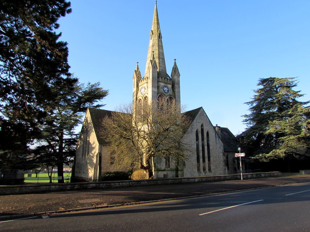
Image: © Jaggery Taken: 28 Dec 2014
Viewed across Bath Road. The tower and spire were Grade II listed in 1987. The Grade II listing does not include the attached chapel building.
Images are licensed for reuse under creativecommons.org/licenses/by-sa/2.0
Image Location
Latitude
51.744175
Longitude
-2.280647