Riverside arable field
Introduction
The photograph on this page of Riverside arable field by Philip Halling as part of the Geograph project.
The Geograph project started in 2005 with the aim of publishing, organising and preserving representative images for every square kilometre of Great Britain, Ireland and the Isle of Man.

There are currently over 7.5m images from over 14,400 individuals and you can help contribute to the project by visiting https://www.geograph.org.uk
Riverside arable field
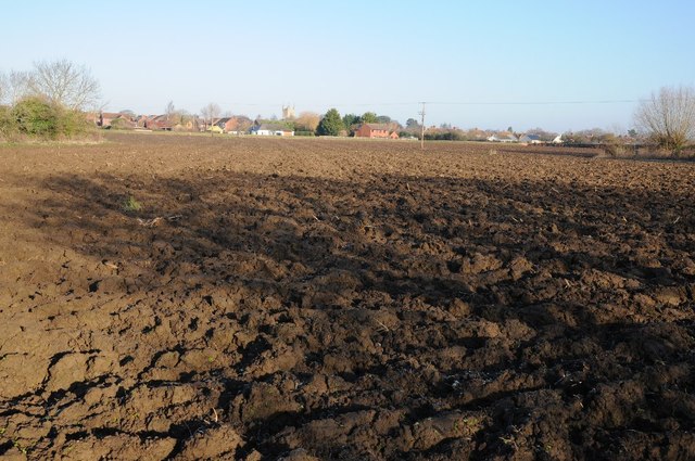
Image: © Philip Halling Taken: 28 Dec 2014
Riverside arable field beside the River Avon in Pershore. The tower of Pershore Abbey can be seen in the background.
Images are licensed for reuse under creativecommons.org/licenses/by-sa/2.0
Image Location


Leaflet Map data © OpenStreetMap
Latitude
52.102856
Longitude
-2.081274