Up Coronation Road, Evanstown
Introduction
The photograph on this page of Up Coronation Road, Evanstown by Jaggery as part of the Geograph project.
The Geograph project started in 2005 with the aim of publishing, organising and preserving representative images for every square kilometre of Great Britain, Ireland and the Isle of Man.

There are currently over 7.5m images from over 14,400 individuals and you can help contribute to the project by visiting https://www.geograph.org.uk
Up Coronation Road, Evanstown
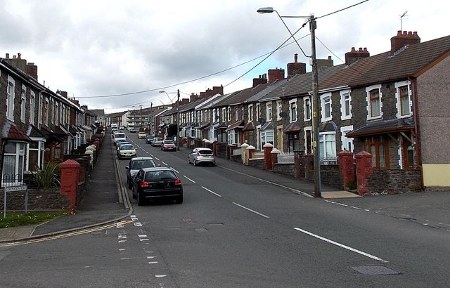
Image: © Jaggery Taken: 11 Apr 2014
Looking NW up the B4564 Coronation Road from the edge of a path to Gilfach Goch Welfare Park.
Images are licensed for reuse under creativecommons.org/licenses/by-sa/2.0
Image Location
Latitude
51.595039
Longitude
-3.477245