Llwybr Beicio Dyfnant/ Dunvant Cycle Path
Introduction
The photograph on this page of Llwybr Beicio Dyfnant/ Dunvant Cycle Path by Alan Richards as part of the Geograph project.
The Geograph project started in 2005 with the aim of publishing, organising and preserving representative images for every square kilometre of Great Britain, Ireland and the Isle of Man.

There are currently over 7.5m images from over 14,400 individuals and you can help contribute to the project by visiting https://www.geograph.org.uk
Llwybr Beicio Dyfnant/ Dunvant Cycle Path
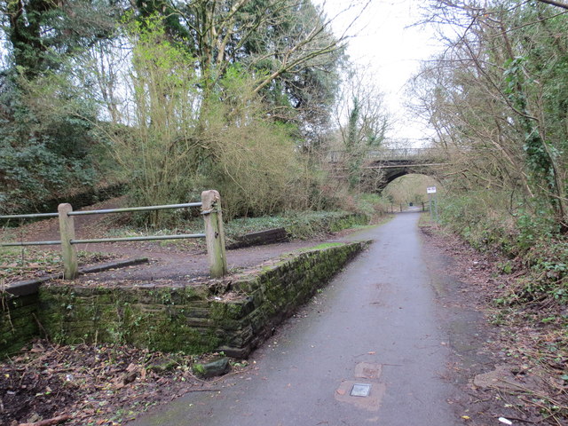
Image: © Alan Richards Taken: 5 Jan 2015
Llwybr troed yn gadael y ffordd seiclo ger hen Orsaf Reilfordd y Dyfnant. Caewyd y lein yn 1964 gan fwyell Beeching. A footpath leaving the cycle path near Dunvant < Dyfnant (trans deep valley) near the former Dunvant Railway Station. The line closed in 1964 by the now infamous Beeching Axe.
Images are licensed for reuse under creativecommons.org/licenses/by-sa/2.0
Image Location
Latitude
51.624221
Longitude
-4.033248