Houses on Bowgrove Rd
Introduction
The photograph on this page of Houses on Bowgrove Rd by Nigel Mykura as part of the Geograph project.
The Geograph project started in 2005 with the aim of publishing, organising and preserving representative images for every square kilometre of Great Britain, Ireland and the Isle of Man.

There are currently over 7.5m images from over 14,400 individuals and you can help contribute to the project by visiting https://www.geograph.org.uk
Houses on Bowgrove Rd
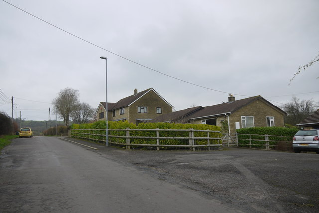
Image: © Nigel Mykura Taken: 5 Jan 2015
Bowgrove road is one of the old tracks from Beaminster up on to the highway which is now the main road the A356. The Wessex Ridgeway long distance path follows this route at this point. The parking area on the right serves several of the modern bungalows.
Images are licensed for reuse under creativecommons.org/licenses/by-sa/2.0
Image Location
Latitude
50.816643
Longitude
-2.738939