Red Sandstone Cliff and The River Ayr.
Introduction
The photograph on this page of Red Sandstone Cliff and The River Ayr. by Stuart Brabbs as part of the Geograph project.
The Geograph project started in 2005 with the aim of publishing, organising and preserving representative images for every square kilometre of Great Britain, Ireland and the Isle of Man.

There are currently over 7.5m images from over 14,400 individuals and you can help contribute to the project by visiting https://www.geograph.org.uk
Red Sandstone Cliff and The River Ayr.
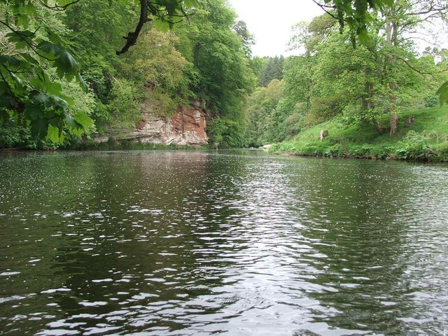
Image: © Stuart Brabbs Taken: 23 May 2006
The River Ayr carved its way through Permian Red Sandstone after the last ice age. Features such as the cliff in the picture are common in the Failford area just downstream of this location.
Images are licensed for reuse under creativecommons.org/licenses/by-sa/2.0
Image Location
Latitude
55.503514
Longitude
-4.426505